By Wilson Cady
Revised by Randy Hill (August 2024)
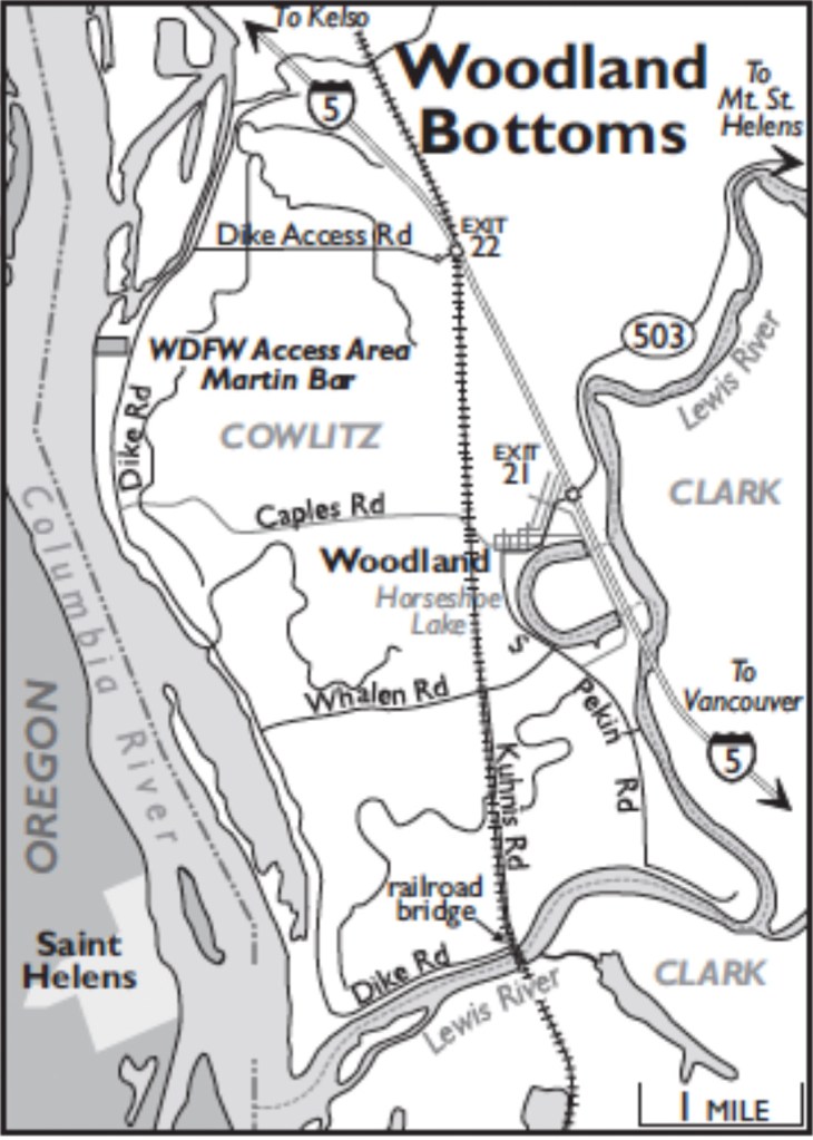
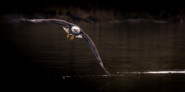
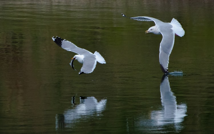
The Woodland Bottoms are a diked remnant of the former floodplain at the confluence of the Columbia and Lewis Rivers. Nearly all of the land inside the dike has been converted to agricultural use; crops are rotated yearly. In migration and winter, geese, ducks, and Sandhill Cranes move from field to field depending on what foods are available. The best way to bird this area is by scanning the fields as you drive the road on top of the encircling dike, looking for signs of bird activity. When you see something interesting, drive the crossroads to get closer. The dike road also gives access to riparian forest, beaches, and sandbars along the Columbia River. Bald Eagle, Rough-legged Hawk, and other raptors can be plentiful here, feeding on birds or on salmon and smelt in the Lewis River. In years when there is a smelt run, loons, grebes, and thousands of gulls gather at the river’s mouth in March.
Take Exit 22 west from I-5, go around two round-abouts and onto Dike Access Road, and continue for 1.6 miles to the dike. To the right, Dike Road dead-ends in 1.3 miles after paralleling a shallow slough bordered by an extensive willow forest on the far shore. Shorebirds and wading birds use the mudflats exposed when water levels are low. Purple Martins sit on the power lines around the pumping station.
Return to the intersection with Dike Access Road and continue south on Dike Road for 0.7 mile to the WDFW Access Area at Martin Bar, on the Columbia River. (A daily fee or Discover Pass required; the Port of Woodland owns the surrounding land and is seeking to buy the WDFW site; a port pass will be required if the sale occurs.) The wave-protected waters around the offshore sandbars here and for the next four miles harbor loons, grebes, and waterfowl, while geese and gulls roost on the sandbars.
In 4.7 miles from Martin Bar, the dike-top road makes a 90-degree turn to the east, following the Lewis River. Check for birds on the pilings. Barrow’s Goldeneyes winter near the railroad bridge (1.0 mile). From here, drive north on Kuhnis Road 1.6 miles to an intersection. Turn right on Whalen Road, then bear left on South Pekin Road (which will become Fifth Street as it enters Woodland), skirting Horseshoe Lake and reaching Davidson Avenue in 1.3 miles. Turn right and follow the main road through Woodland to I-5 Exit 21 in 0.6 mile.
