By Wilson Cady
Revised by Randy Hill (August 2024)
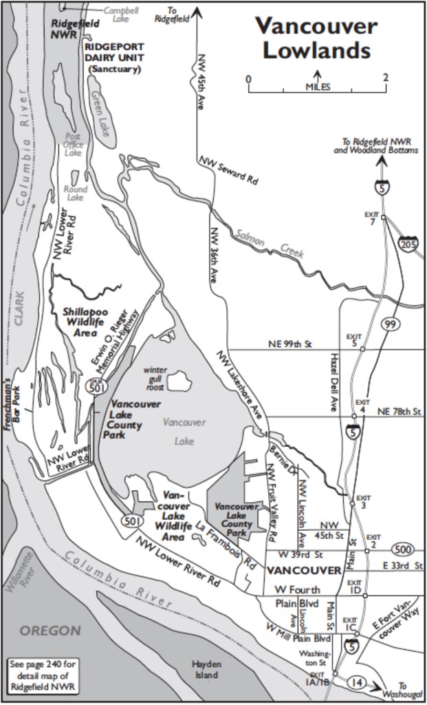
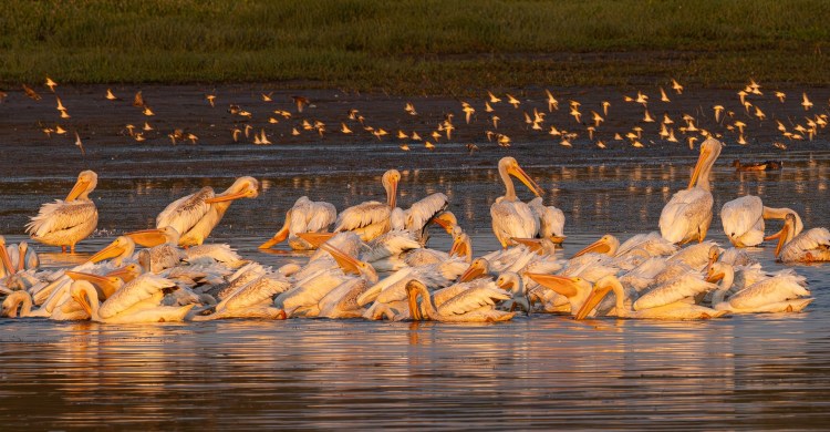
A diked remnant of the vast floodplain at the confluence of the Columbia and Willamette Rivers, west of the city of Vancouver, the Vancouver Lowlands attract many of the same species as the adjacent Ridgefield National Wildlife Refuge to the north. Birding is best here from early fall through late spring, when wintering species congregate. The large flocks of Cackling and Canada Geese may contain five or more subspecies and should be carefully checked for other geese, including Greater White-fronted, Brant (casual), Snow, Ross’s, and Emperor(rare).
Take Exit 1D from I-5 and drive west on Fourth Plain Boulevard (SR-501). In 1.5 miles, at the Fruit Valley Road intersection, turn right and go a half mile south to Fruit Valley Park. Turn left on La Frambois Road to the water treatment plant. Scoping from the NE corner, check for wintering waterfowl including numerous Ruddy Ducks and other divers. Continue into the Shillapoo Wildlife Area (Discover Pass required). Check powerlines for raptors. In fall migration, as many as a thousand Purple Martins have roosted on the lines! The shooting range (shotgun and archery) has a large parking area with trails that penetrate the interior wetland/upland blend. Continuing to the boat launch area, another trail west follows closer to Vancouver Lake. At the launch you can scope most of Vancouver Lake depending on water levels, and even the sand beach in Vancouver Lake Park. Although distant, inaccessible east shore areas nearly to the beginning of Lake River are in view that can include large flocks of grebes, waterfowl, cormorants, and gulls.
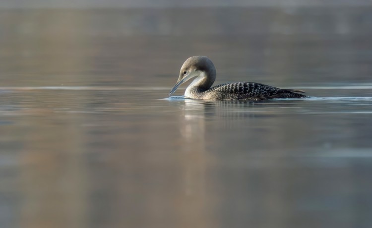

Return to Fruit Valley Road and turn right onto SR-501. Veer right at the Mill Plain junction and continue straight ahead onto NW Lower River Road. There are as many as ten access points that offer trails or roadside views worthy of a stop; Continue west beyond the last buildings on the north side of the highway; the pond on the right can have an assemblage of waterfowl and shorebirds. On the south side of the highway a pave walking trail offers a pedestrian buffer from the highway. Check ponds and fields for geese, ducks, Great Egrets, and Sandhill Cranes. In 3.3 miles, stop on the right at the parking lot for the flushing channel that brings water from the Columbia River into Vancouver Lake. The influx of fresh water attracts fish and the birds that feed on them. Western and Horned Grebes, Common Mergansers, and Double-crested Cormorants winter here. Occasionally a Red-necked or Clark’s Grebe can be spotted among them, and recently American White Pelicans can be present throughout the year. During late summer and at low tide, mudflats in a bay on the right (south) side of the flushing channel attract shorebirds, and less common gulls and terns are expected. With a surface area of 2,800 acres, Vancouver Lake was less than three feet deep until it was dredged and the flushing channel constructed. The dredge spoils were used to make an island in the center of the lake that serves as a night-time roost for over 5,000 gulls during the winter months. Check them when they depart at dawn, or at dusk as they are returning. During low water periods there can be thousands of birds in shallow areas toward the island.

Just ahead is an intersection where SR-501=NW Lower River Road turns left. Stay straight ahead onto SR-501 Spur/Erwin O. Rieger Memorial Highway and continue 0.6 mile to the entrance to Vancouver Lake County Park (County Parks fee/pass required), on the right. Ornamental trees and thick plantings of shrubs throughout the park attract migrant and wintering passerines. At the north end of the park is a trail lined with roses and other thick brush that harbors many sparrows. The trail leads to an Oregon Ash forest that may produce roosting owls or hawks.
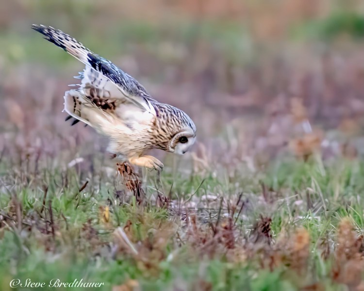
Turn right from the park entrance and continue north. For the next 1.7 miles, until it ends, the road parallels the shore of Vancouver Lake. The land on the right side of the road is owned by Clark County Parks, and access to the lake is available in several spots; informal parking at gates follow a service road and trails through the forest. On the left side, the road follows one edge of the Shillapoo Wildlife Area (WDFW permit or Discover Pass required to park), approximately 1,000 acres of grasslands and wetlands around the bed of a seasonal lake used as a pheasant-release site for hunting purposes. The gated access to the main dike trail has harbored many rare sparrows in all seasons. In winter, Short-eared Owls are found in the open fields. Geese, Tundra Swans, and Sandhill Cranes can be numerous here when hunters are not present. Water levels vary seasonally, and both spring and fall migration periods often produce less common shorebirds, terns, and waders.

Return to Lower River Road and turn right (west). A parking lot where the road turns north gives access to Bluerock Landing, where the flushing channel begins. Views up and down the river can have large flocks of diving ducks. Continuing north, the fields on both sides of the road are one of the better spots in the lowlands to find Sandhill Cranes and goose flocks. They are managed as ‘Cranes Landing’ by the Columbia Land Trust, specifically for migrating and wintering Sandhill Cranes. Just ahead, Frenchman’s Bar Park (County Parks fee/pass required) has many trails, with open views of the crane fields from a levee trail. The trail from the north parking lot goes through cottonwood and mixed floodplain forest, and is an excellent walk during spring migration in April and May; all five woodpecker species nest here. Continue scanning the fields and ponds as you drive north past a marina (where Purple Martins nest) and Fazio’s Sand (note the longhorn cattle) to a gated road to silage piles on the left. When the silage is uncovered, there is a huge sparrow, starling and blackbird flock worth sorting through. The paved road is gated in 200 yards through private property that once lead to a view of Post Office Lake, in the south section of Ridgefield National Wildlife Refuge. From the parking area at the gate you can walk the levee road east that separates private from Shillapoo Wildlife Area lands where hunting occurs on both sides. Lake River bottomland and several wetland complexes produce a diverse avifauna, and numerous rarities.
